Low Dinsdale 1, Low Dinsdale, Darlington (Low Dinsdale)

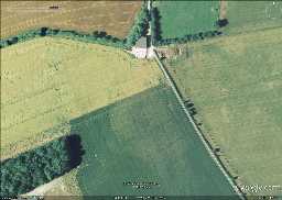
Low Dinsdale enclosure (north to top) © Google Earth 2006

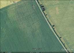
Low Dinsdale enclosure © Google Earth 2006

Low Dinsdale 1
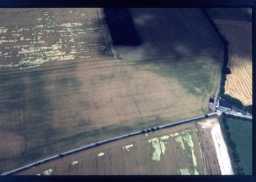
An aerial photograph of this site is interpreted as the cropmarks of a possible 18th or early 19th century mansion. Another of the same site, interprets it as a possible rectangular enclosure with internal features (4).
D598
Hanoverian (1714 to 1837)
Georgian (1714 to 1830)
Early Neolithic (4000BC to 3300BC)
21st Century (2001 to 2100)
Uncertain
Georgian (1714 to 1830)
Early Neolithic (4000BC to 3300BC)
21st Century (2001 to 2100)
Uncertain
Geophysical survey at Manor Farm, Low Dinsdale 2012; Archaeological Services WYAS
Disclaimer -
Please note that this information has been compiled from a number of different sources. Durham County Council and Northumberland County Council can accept no responsibility for any inaccuracy contained therein. If you wish to use/copy any of the images, please ensure that you read the Copyright information provided.