Rifle Range at Deepdale Beck near Lartington (Lartington)
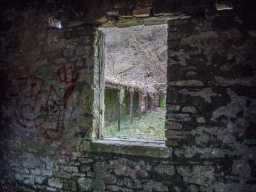
View from out of Hut window at Butts (looking South South East) 02/2020
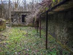
View along Butts towards hut (looking North North West) 02/2020
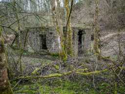
Rear of Hut at Butts (looking South east) 02/2020
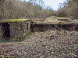
Hut and Butts (looking East North East) 02/2020
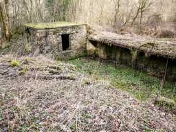
Hut and Butts (looking North North East) 02/2020
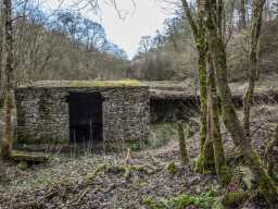
Hut entrance (Looking East North East) 02/2020
A rifle range is shown on the second edition Ordnance Survey maps of 1894-99 (1) running alongside Deepdale Beck. The range remains marked on OS mapping data right the way through to the seventh epoch versions of the 1970's (2), after which the land shows up as paths through woodland by the beck. The targets are on the south side of the beck with markers leading 660yds. away to the north-east on the opposite side of the beck. The range is likely to have been associated with Deerbolt Military Camp to the immediate south, the lifespan of the range suggesting it might well have been used as a training site in both the First World War and WW2.
D47390
Victorian (1837 to 1901)
First World War (1914 to 1918)
Late 20th Century (1967 to 2000)
Second World War (1939 to 1945)
First World War (1914 to 1918)
Late 20th Century (1967 to 2000)
Second World War (1939 to 1945)
Disclaimer -
Please note that this information has been compiled from a number of different sources. Durham County Council and Northumberland County Council can accept no responsibility for any inaccuracy contained therein. If you wish to use/copy any of the images, please ensure that you read the Copyright information provided.