Smotherlaw, Piercebridge (Carlbury; Piercebridge)

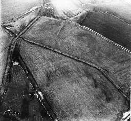
Piercebridge, Smotherlaw © DCC 2007

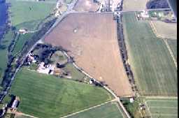
Carlbury © B. Vyner 2007

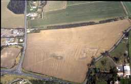
Low Carlbury, ridge & furrow © B. Vyner 2007
An aerial photograph of this site shows the cropmarks of what appears to be a Roman (AD43 to 410) fort. However, it may in fact be of medieval (1066 to 1540) or later date as it is possible to see ridge and furrow on an earlier 1960's RAF aerial photo.
D2484
Geophysical Survey at Low Carlbury, Piercebridge 2013; Archaeological Services Durham University
Disclaimer -
Please note that this information has been compiled from a number of different sources. Durham County Council and Northumberland County Council can accept no responsibility for any inaccuracy contained therein. If you wish to use/copy any of the images, please ensure that you read the Copyright information provided.